Circuit cours d'eau et charmes ruraux

Sorel-Tracy to Saint-Ours

Share this page

Sharing options

How would you like to share this page?

Distance 55.3 KM
Elevation 94 M

About the circuit

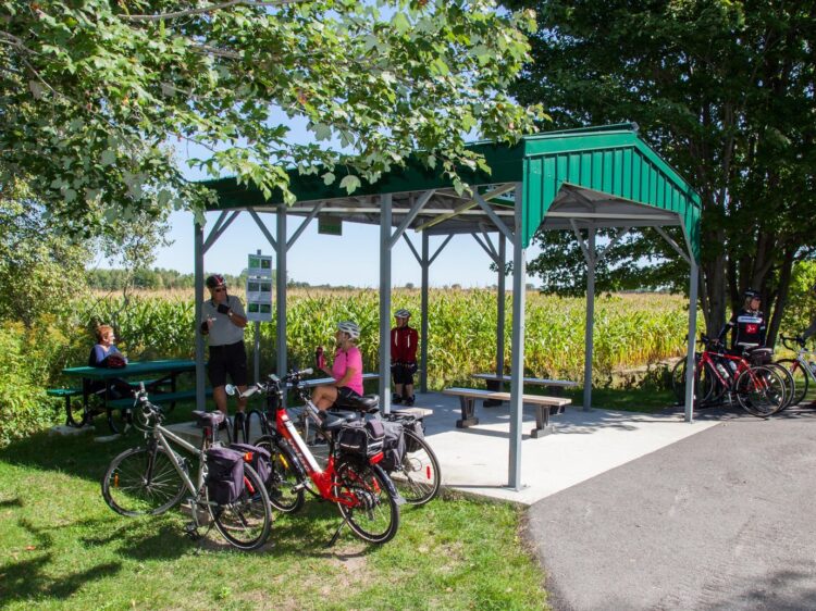
This itinerary brings you different attractions and services. Take time to rest in two magnificent parks, one facing the St. Lawrence River and to visit the oldest camp in North America.

Download the files to integrate them in your GPS device!

TCX File

The TCX file is more detailed than the GPX (indicates turns rather than just the path). If you have a Garmin device, the TCX file is recommended.

GPX File

If you have a device other than Garmin, download the GPX file.