Covey Hill Circuit
Surface type: Asphalt (100%)
Terrain: Hilly
Family-friendly: No
Facilities: No facilities; 18.7 km on paved roads (84%); 97.6 km on paved shoulders (16%)
About the circuit
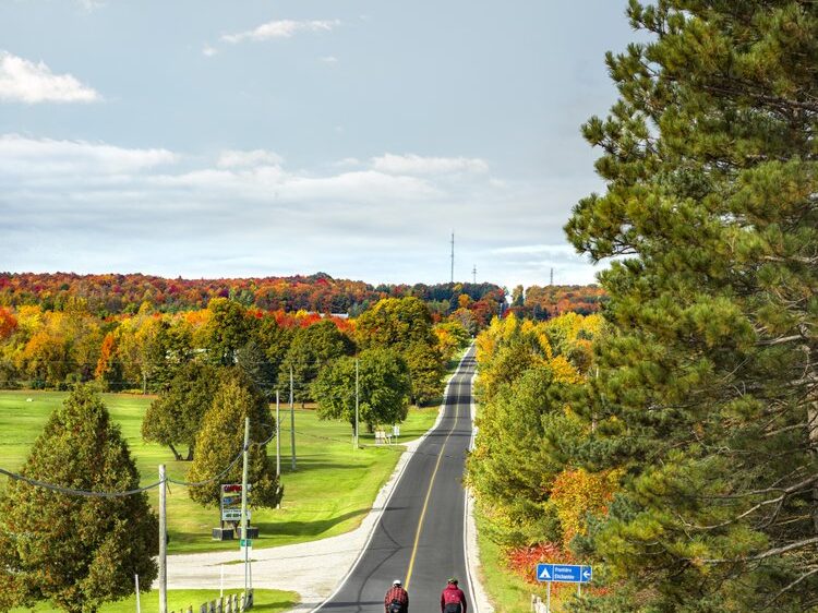
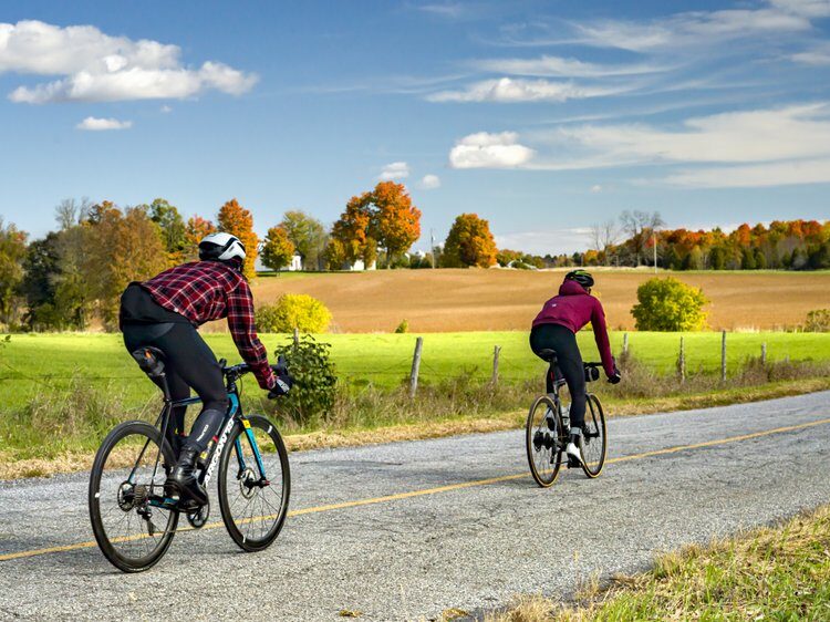
The Covey Hill loop, located just across the U.S. border, is a major challenge for cycling enthusiasts. Covey Hill is famous for its 2.66 km climb and 159 m elevation gain, which will put your legs to the test but delight your eyes! The route winds through quiet roads lined with forests, orchards, maple groves, and fields stretching as far as the eye can see. With every turn of the pedals, a new panorama unfolds, combining the bounty of nature, the charm of heritage, and typical Montérégie culinary stops. A favorite route for seasoned cyclists seeking challenge, beauty, and freedom.