
Circuit Maskoutaines et des rivières
From Saint-Hyacinthe to Saint-Valérien-de-Milton
Surface type: Asphalt 80 km (100%)
Terrain: Flat
Family-friendly: No
Facilities: No facilities, on-road
About the circuit
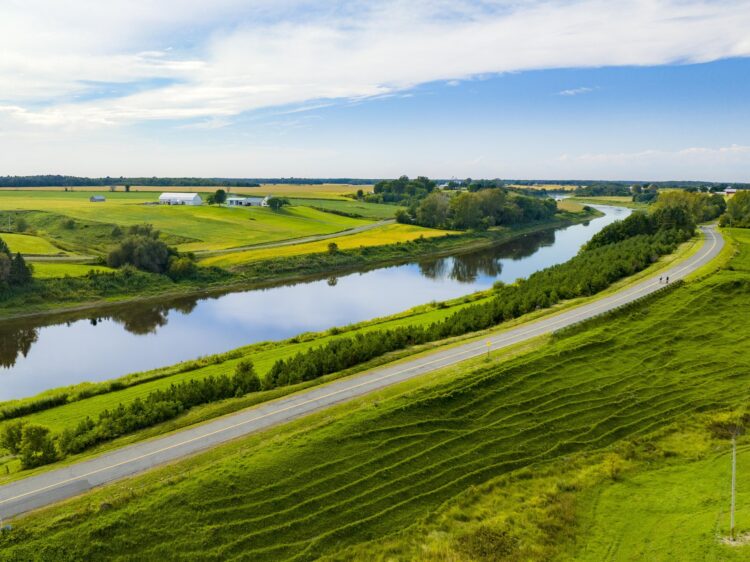
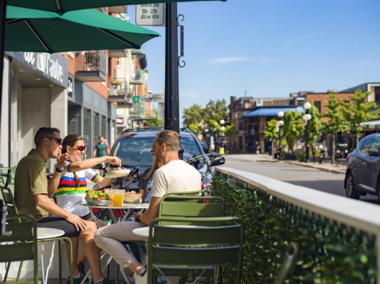
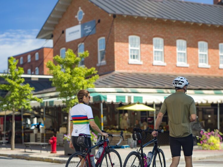
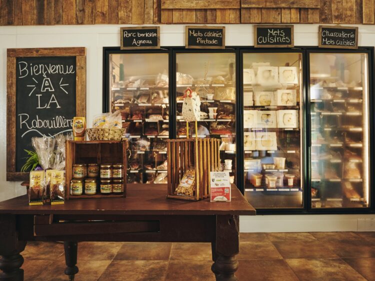
The Maskoutaines and Rivers Loop, located between Montreal and Drummondville, invites you to explore the agricultural heart of the Montérégie region. Starting from Saint-Hyacinthe, Quebec’s agri-food capital, you’ll ride through magnificent rural landscapes toward Saint-Pie and Saint-Valérien-de-Milton. The route follows the peaceful Noire River as well as a section of the Yamaska River, offering the perfect natural setting for a peaceful bike ride. With its welcoming villages, quiet valleys, and vast agricultural horizons, this route captures all the richness and beauty of the Maskoutaine region. A wonderful cycling adventure to discover the flavors and landscapes of the Montérégie!