Circuit de la rivière Châteauguay
From Châteauguay to Sainte-Martine
Surface type: Asphalt 57 km (100%)
Terrain: Flat
Family-friendly: Yes
Type of infrastructure: No infrastructure, on road 49 km (87%), Street-level bike lane 5.6 m (10%), Dedicated bike path or trail 1.5 km (3%)
About the circuit
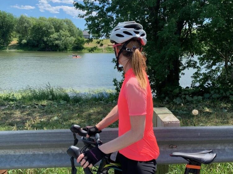
The Rivière Châteauguay loop, nestled between the countryside and the waterfront, connects Châteauguay to Sainte-Martine by following the peaceful Châteauguay River and the majestic banks of the St. Lawrence River. You’ll discover authentic countryside, serene agricultural landscapes, and a few valleys that add just the right amount of challenge to your ride. The route, quiet and uncrowded, offers a perfect balance of nature, relaxation, and the joy of the ride. A gentle route, ideal for cyclists who love pedaling along the water and recharging their batteries in an enchanting setting.