Circuit des Trois Monts
Mont Rougemont, Mont Saint-Hilaire, and Mont Saint-Bruno
Surface type: Asphalt 89.4 km (98%), Dirt 1.6 km (2%)
Terrain: Hilly
Family-friendly: No
Facilities:
No dedicated facilities, on road 73 km (80%)
Bicycle lane 6.8 km (8%)
Dedicated bike path or trail 5.8 km (6%)
Bike path or trail on street 2.9 km (3%)
Paved shoulder 1.6 km (2%)
Designated roadway 929 m (1%)
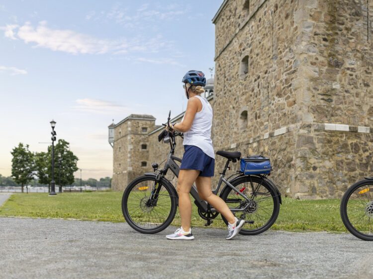
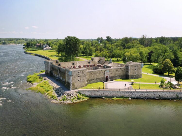
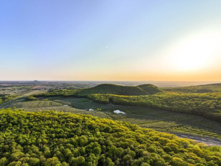
About the circuit
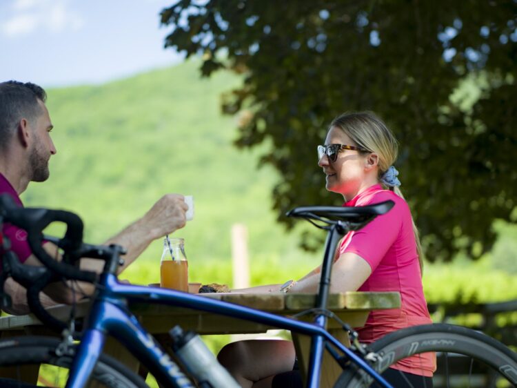
The Circuit des trois monts, through orchards, mountains, and local discoveries
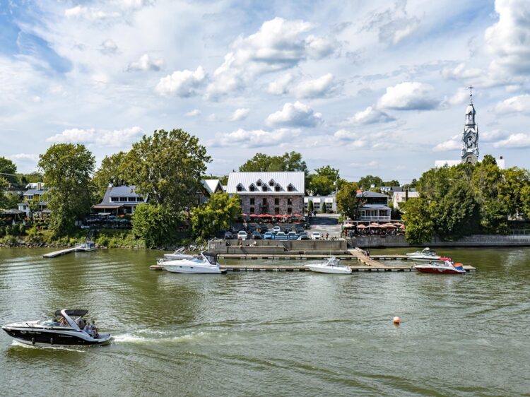
This iconic route connects three jewels of the Montérégie region: the Rougemont, Saint-Hilaire, and Saint-Bruno mountains. From the start in Rougemont, the enchanting scenery of orchards and fields invites you on a scenic ride. You’ll cross the Richelieu River, skirt the Chambly Reservoir, and ride along gently rolling roads—perfect for pedaling at your own pace. The route offers a mosaic of landscapes—mountains, forests, maple groves, and farmland—that change as the kilometres go by. To finish, take the time to savour local products at a cider house or a local vineyard: a well-deserved reward after this beautiful excursion in the heart of the Montérégie region.