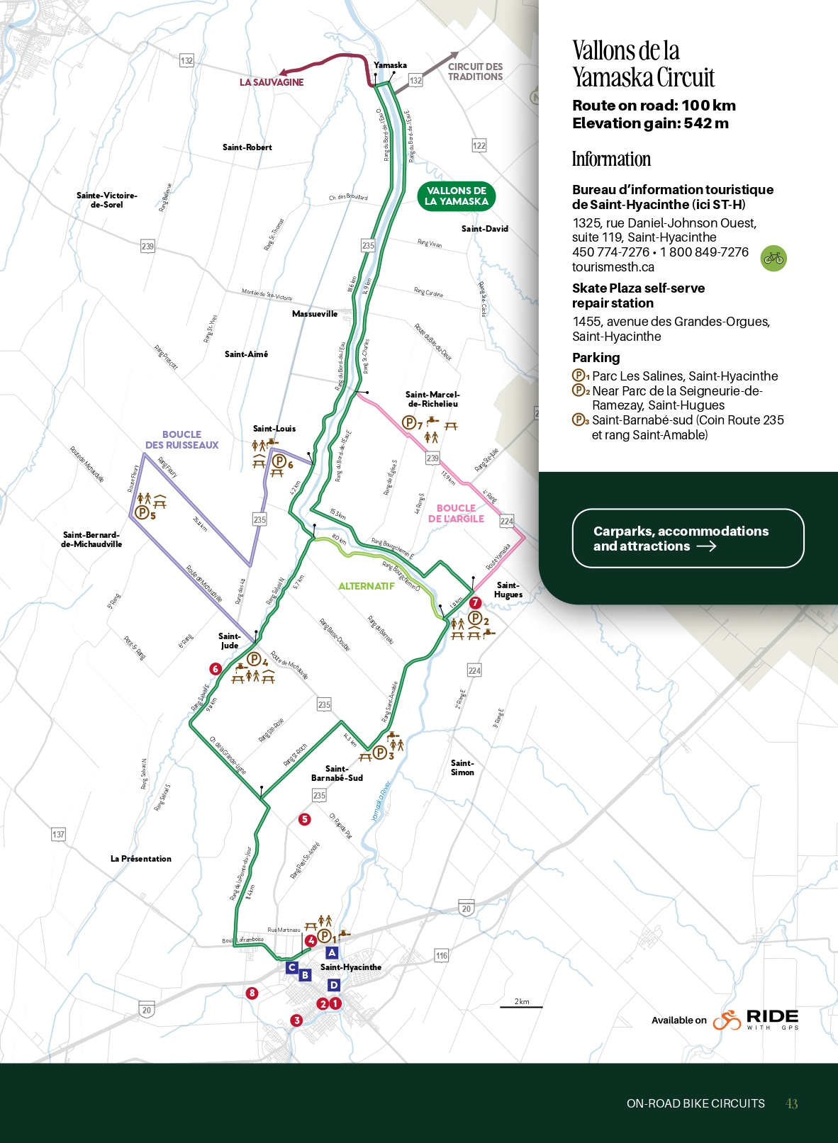
Vallons de la Yamaska Circuit
Bureau d’information touristique de Saint-Hyacinthe à Yamaska
1325, rue Daniel-Johnson Ouest, suite 119, Saint-Hyacinthe
1-800-849-7276
tourismesth.ca
Station de réparation en libre-service du Skate Plaza
1455, avenue des Grandes-Orgues, Saint-Hyacinthe
![]()
![]()
About the circuit
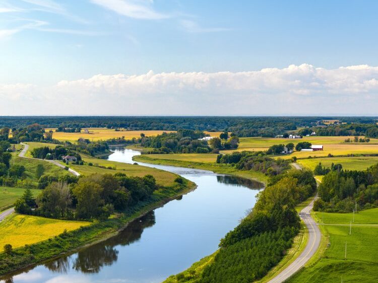
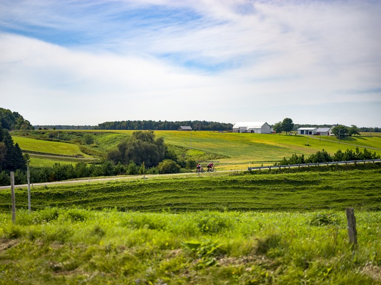
This 100 km on-road circuit borders the Yamaska river and run through rural-scapes typical of the Maskoutains region.
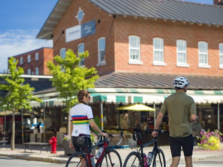
You’ll start in park Les Salines in Saint-Hyacinthe and weave your way to farmlands, then Saint-Jude, where you’ll want to stop at a birds-of-prey sanctuary to learn more about certain protected species. Downtown Saint-Hyacinthe is picture-perfect for some après-biking shopping and dining : public market, good restaurants and local shops. A short 10-minute detour from downtown will lead you to a botanical garden.