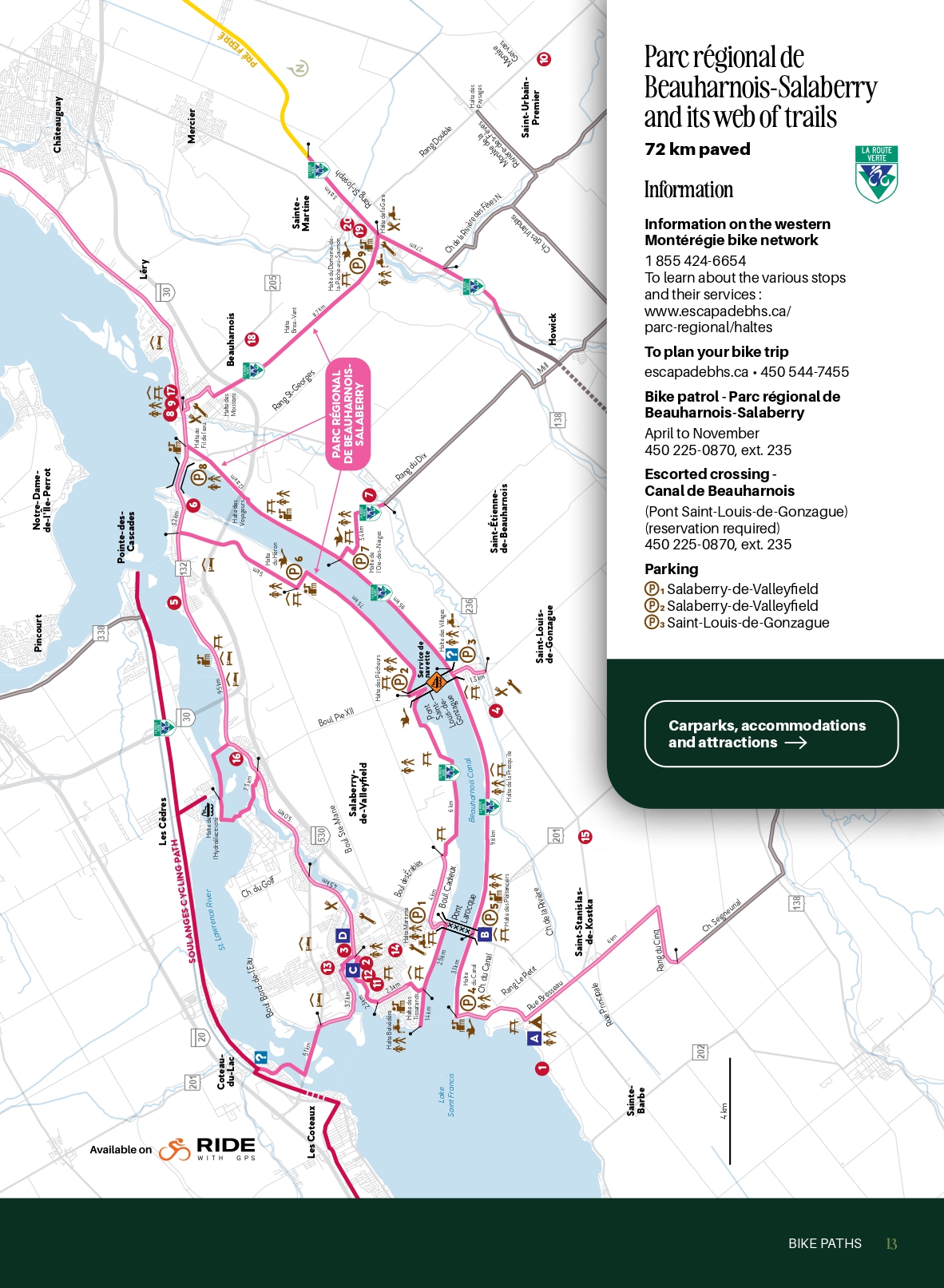
Parc régional de Beauharnois-Salaberry and its web of trails
Information on the western Montérégie bike network
1 855 424-6654
The various stops and their services
To plan your bike trip
escapadebhs.ca • 450 544-7455
Bike patrol – Parc régional de Beauharnois-Salaberry
April to November
450 225-0870, ext. 235
Escorted crossing – Canal de Beauharnois
(Pont Saint-Louis-de-Gonzague, reservation required)
450 225-0870, ext. 235
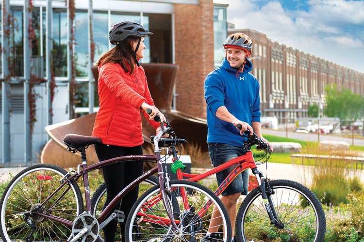
Difficulty : Easy
Terrain : Entirely paved
![]()
About the circuit
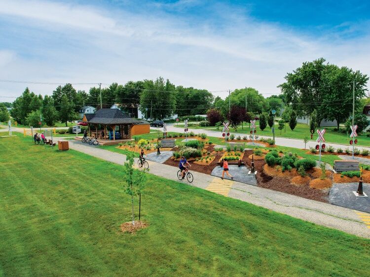
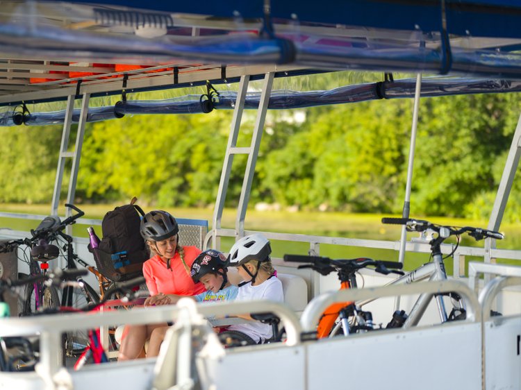
The paved 72 km Parc régional de Beauharnois-Salaberry bike path follows the canal along the countryside and riverbanks, providing shaded rest stops for observing passing ships or stretching your legs by the water.
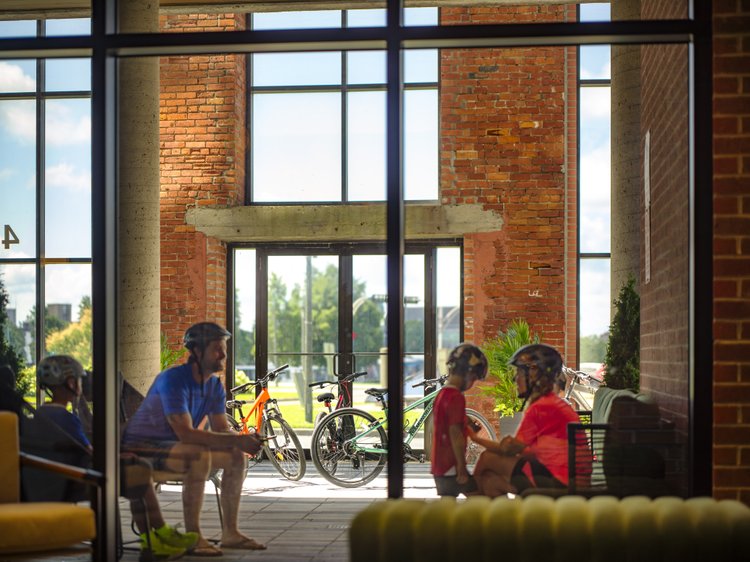
Staff patrol the length of the path for your safety, to provide information or assistance if needed. To round out your ride, a beach, a museum, a hydroelectric generating station, restaurants, vineyards, farms and lodging, including a Bienvenue cyclistes! certified hotel, can be found around the route
Closure of a section of bike path and access to Beauharnois-Salaberry Regional Park starting June 27, continuing through summer 2026.
Full details
Map of closure
Cyclists will enjoy a safe crossing on the Saint-Louis-de-Gonzague Bridge.
All the details
Services
-
Bike repair
-
Birdwatching
-
Body of water
-
Interpretation
-
Patrol
-
Picnic area
-
Route verte
-
Toilet
-
Waterfront view