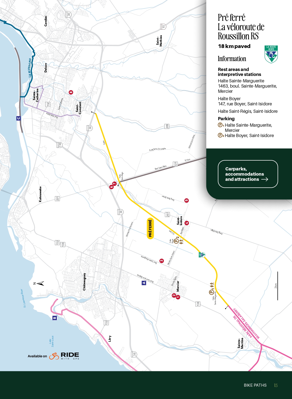
Pré ferré – La véloroute de Roussillon RS
Information
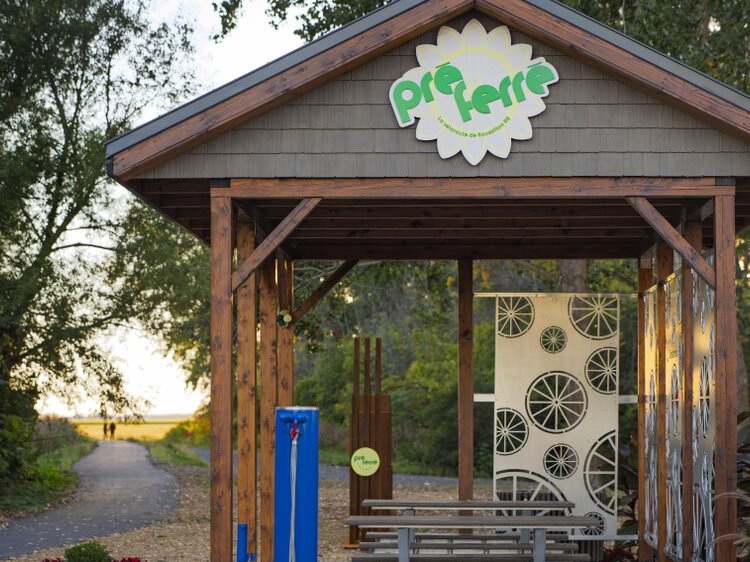
Rest area and interpretation module
Sainte-Marguerite Rest area
1463, boul. Sainte-Marguerite,
Mercier
Boyer Rest area
147, rue Boyer, Saint-Isidore
Saint-Régis Rest area
45.34398, -73.64476
Difficulty : Easy
Terrain : Paved bike path (18 km)
Type : bike path, Route Verte
About the circuit
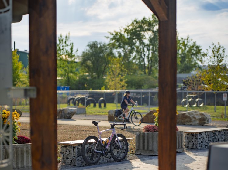
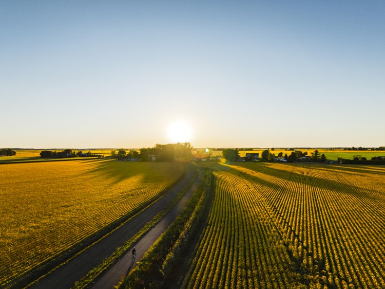
Inaugurated in summer 2025, this new 18 km fully paved bike path runs along a decommissioned railway track. Flat and safe, it snakes across rural scenery where open fields and natural settings are picture-perfect for shifting to a slower gear.
Three interpretive stations, inspired by air, water and earth, add a cultural touch to the ride by showcasing the region’s agricultural heritage. You can lengthen your excursion by connecting with the Parc régional
Beauharnois-Salaberry bike path and its network of trails.
Services
-
Free outdoor parking
-
Route verte